LAGOS, Sept 5 – The United Nations General Assembly has backed an African-led initiative calling for greater use of a world map that more accurately reflects the relative size of the world’s continents, challenging the long-standing dominance of the Mercator projection.
The resolution, led by Togo, was approved on Friday with 164 countries voting in favour. The United States opposed the measure, while Serbia, Estonia, Georgia, Lithuania, Moldova and Ukraine abstained.
The resolution identifies the Equal Earth cartographic projection, developed in 2018, as “a relevant option for improving the accuracy of the cartographic representation of the world.”
Togo’s Foreign Minister Robert Dussey said maps have a broader influence than simply showing geographic locations, noting that they “guide education, nourish the imagination, and influence collective perceptions.” He added that the resolution represents an effort to correct how Africa is portrayed on global maps, saying, “The resolution adopted today reaffirms African reality.”
Why Africa appears smaller on traditional maps
For centuries, many classrooms, atlases and digital platforms have relied on the Mercator projection, developed by Flemish cartographer Gerardus Mercator in 1569.
The projection was created primarily to support maritime navigation. It preserves the shapes and angles of landmasses relatively well, but this comes at the expense of accurately representing their relative areas.
Because the Earth is spherical while a map is flat, some degree of distortion is unavoidable. Under the Mercator projection, however, the distortion becomes increasingly pronounced toward the poles.
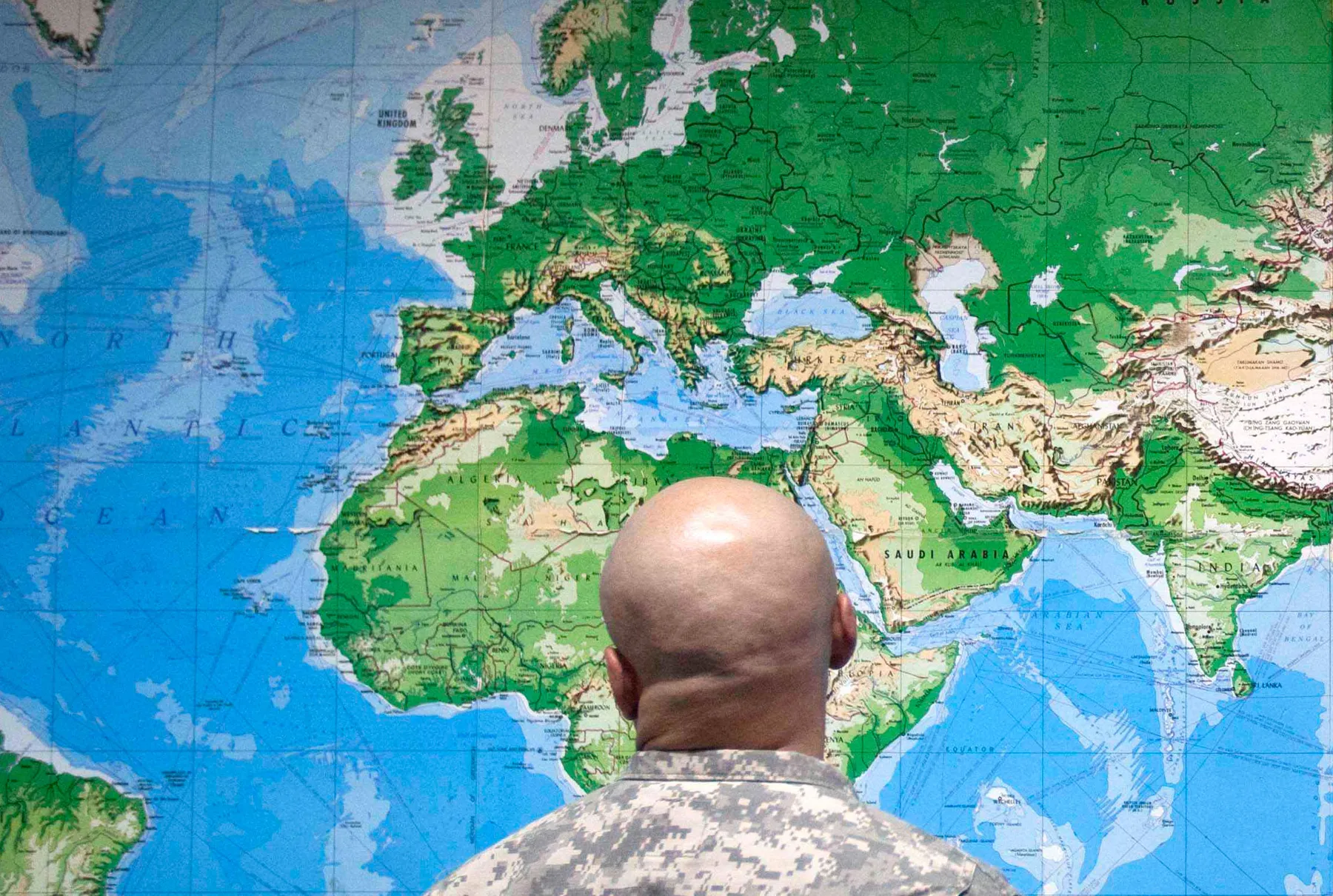
As a result, Europe and North America appear significantly larger than their actual land areas, while regions around the equator, including Africa and South America, appear comparatively smaller.
Africa is particularly affected by this distortion, the continent covers approximately 30.3 million square kilometres, or about 11.7 million square miles. That is enough land to accommodate the United States, China, India and much of Europe. Yet on a conventional Mercator map, Africa can appear roughly comparable in size to Greenland. In reality, Greenland is about 14 times smaller than Africa.
Latin America covers around 20 million square kilometres, with South America accounting for approximately 17.8 million square kilometres. Oceania spans about 8.5 million square kilometres, most of which is Australia, while South Asia covers approximately 5.1 million square kilometres despite being home to roughly a quarter of the world’s population.
Together, Africa, Latin America, South Asia and Oceania account for about 64 million square kilometres, representing more than 40% of the world’s land surface. Europe, by comparison, covers about 10.2 million square kilometres.
Why Togo is pushing for a different map
Togo has positioned the campaign as an effort to address how geographic representations can shape perceptions of the world, particularly in education and public understanding.
The initiative argues that the visual prominence given to some northern regions under the Mercator projection can create an inaccurate impression of the relative size of continents.
France, which co-sponsored the resolution, said it would move away from the Mercator projection. French Foreign Minister Jean-Noel Barrot said the traditional map gives “the United States, Russia and China” disproportionate visual prominence relative to Africa, Latin America and Southeast Asia, while making “Greenland appear almost as big as Africa.”
“Changing maps obviously doesn’t change the world,” Barrot said. “But correcting a distorted representation is already an act of truth.”
Why the US opposed the resolution
The resolution was overwhelmingly supported, but the United States voted against it. US representative Yaryna Ferencevych criticised the General Assembly’s decision before the vote, arguing that the organisation should be focused on more pressing international challenges.
She described the proposal as “the reason this institution is losing its credibility,” criticizing the body for what she called a misplaced focus: “Instead of focusing on genuine problems … this body is debating map projects from the 16th century.” The US was the only country to vote against the resolution, while six countries abstained.
What is the Equal Earth projection?
The Equal Earth projection was introduced in 2018 by cartographers Bojan Savric, of the Environmental Systems Research Institute, Tom Patterson, of the US National Park Service, and Bernhard Jenny, of Monash University. Unlike the Mercator projection, Equal Earth is designed to preserve the relative surface areas of continents while maintaining shapes that remain visually similar to their appearance on a globe.
“Equal Earth preserves the relative surface areas of continents and, as much as possible, shows their shapes as they appear on a globe,” Savric told AFP in 2025. The projection has consequently gained attention as an alternative for educational, geographic and institutional maps where accurately communicating the relative size of landmasses is important.
Will the world actually stop using the Mercator map?
The UN resolution does not legally require countries, schools, companies or mapping services to abandon the Mercator projection. Instead, it encourages governments and institutions to consider adopting Equal Earth as a more accurate representation of continental areas.
The United Nations has also clarified that the resolution does not prohibit the use of Mercator or formally impose Equal Earth as the world’s new standard.
The significance of Friday’s vote therefore lies less in an immediate change to every map and more in the UN’s endorsement of a different approach to representing the world’s geography.
For Africa, the campaign carries an additional significance. A map that reflects the continent’s actual size could challenge geographic perceptions that have been reinforced for generations and provide a more accurate visual representation of Africa’s place in the global landscape.