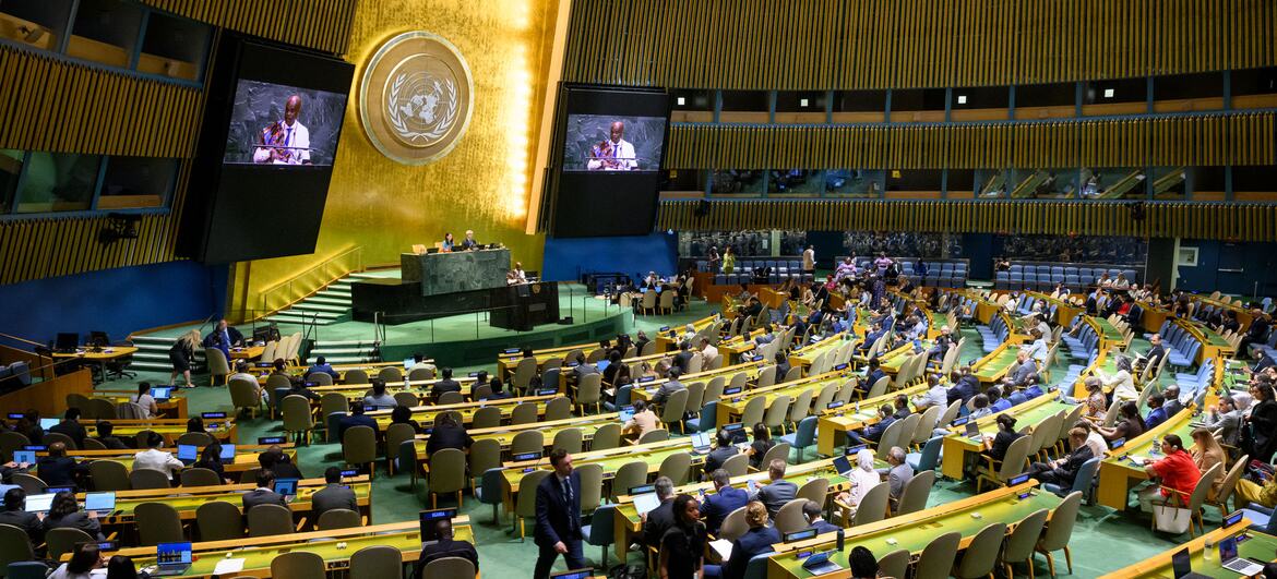
The United Nations General Assembly has adopted an African-backed resolution promoting the use of world map projections that more accurately represent the relative size of continents, marking an international push to address distortions associated with the widely used Mercator projection.
The resolution, known as the “Correct the Map” initiative, was approved on Friday by 164 countries, with one voting against and six abstaining. It was sponsored by African Union member states and the Bahamas, with Togo leading the African campaign.
The initiative promotes the Equal Earth projection, which is designed to provide a more accurate representation of the surface area of continents. The campaign argues that the widespread use of the Mercator projection has contributed to an inaccurate visual understanding of Africa’s geographical scale.
Developed in the 16th century by Flemish cartographer Gerardus Mercator, the projection enlarges land masses located closer to the poles. As a result, Greenland can appear comparable in size to Africa on many maps, despite Africa being roughly 14 times larger.
Togo’s Foreign Minister Robert Dussey framed the initiative as part of a broader effort to address historical perceptions of the continent.
“A fair world begins with a fair map,” Dussey said ahead of the vote.
Supporters of the campaign argue that repeated visual distortions can influence perceptions of geography and, more broadly, the relative importance of different regions. They contend that the prominence given to northern countries on conventional maps can reinforce outdated assumptions about Africa and other parts of the Global South.
The resolution itself is not legally binding and does not seek to eliminate the Mercator projection from applications where it remains technically appropriate. Togo’s foreign ministry said the resolution “in no way challenges the use of the Mercator projection for maritime and aerial navigation, for which it remains fully suited.”
The United States was the only country to oppose the resolution, arguing that the initiative advanced an “ideological agenda” and diverted attention from more pressing international challenges involving peace, prosperity and global relations.
Africa No Filter, an advocacy organisation involved in the campaign, welcomed the vote while emphasising that implementation would be the next challenge.
“Now the real work begins,” Moky Makura, the organisation’s executive director, said in a statement.
Makura called for more accurate maps to be adopted across educational materials, news organisations, businesses and digital platforms.
“We want to see accurate maps in schools, textbooks, newsrooms, businesses and on the digital platforms billions of people use every day,” she said.
Makura also linked the campaign to a wider discussion about how Africa is represented internationally, arguing that the continent does not need to be visually enlarged but rather accurately represented.
“If we got something as basic as Africa’s size wrong for this long, what else about Africa have we simply accepted without questioning? Africa doesn’t need to be made bigger. It needs to be seen accurately,” she added.
The campaign has also received backing from France. Foreign Minister Jean-Noel Barrot said France would move away from the Mercator projection in favour of representations better suited to specific purposes and more faithful to actual surface areas.
“The United States, Russia and China take on a disproportionate visual prominence compared to Africa, Latin America or southeast Asia,” Barrot said in a speech at Sorbonne University in Paris.
Barrot argued that persistent visual distortions can influence how regions are perceived over time, saying that “distortions eventually take root in perceptions” and that “the time has come to correct them.”
For Togo, the campaign extends beyond cartography into a broader effort to reconsider colonial-era legacies. Dussey said the initiative was not intended as an attack on Europe or another civilisation, but reflected changes in Africa’s position and its efforts to challenge historical representations.
Togo plans to revise its school geography materials by the end of the year and intends to encourage governments, educational institutions, international organisations and technology companies to adopt the Equal Earth projection.
The resolution does not immediately change which maps governments, schools or technology companies use. Its significance instead lies in giving international recognition to a campaign seeking to alter how geographical information is presented, particularly in educational and digital environments.
For Africa, the initiative represents another attempt to influence global narratives about the continent, alongside broader efforts to address historical representations and strengthen its role in international institutions. As Dussey put it, “The world is changing. Africa also is changing.”