KINSHASA, Oct 6 – The Democratic Republic of Congo has launched a nationwide airborne geological mapping programme aimed at improving understanding of its mineral resources and encouraging investment in regions that remain largely unexplored.
The initiative, known as PC2G-RDC, will use high-resolution airborne geophysical surveys to generate more detailed information on the country’s subsurface geology. The programme is intended to identify areas with mineral potential, update existing geological datasets and strengthen scientific understanding of Congo’s resource base.
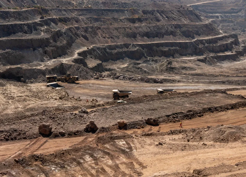
Congo is the world’s largest cobalt producer and Africa’s leading copper producer, but government officials estimate that less than 10% of the country’s territory has been thoroughly explored, leaving substantial areas of its mineral potential undocumented.
The National Geological Service of the Congo (SGNC) is implementing the programme with technical support from Spanish geophysics company Xcalibur. The initial work will cover Kongo Central, Kwango, Kwilu and Greater Kasai, building on geological mapping previously conducted in Greater Katanga.
At the launch, Mines Minister Louis Watum Kabamba said the programme would increase Congo’s geoscientific coverage to 46.1% from 22.27%, substantially expanding the amount of territory supported by modern geological information.
The project forms part of a broader effort by the Congolese government to strengthen its role in the mining sector, including greater control over the geological information that underpins future exploration and resource development.
Geological Data as a Strategic Asset
The mapping programme is designed not only to identify potential mineral deposits but also to strengthen the state’s ability to evaluate and manage its natural resources.
SGNC Director General Raoul Wazenga Vitima said control over geological information was an important component of national resource sovereignty.
“The sovereignty does not begin when a mineral is extracted. It begins when the state knows its territory, owns its maps, controls its data, preserves its samples, develops its laboratories and trains the experts capable of interpreting that information.”
Vitima added that Congo needed to develop greater domestic capacity to conduct and interpret geological surveys.
“Congo should not only be better mapped; it should increasingly be capable of mapping itself.”
Officials said the new surveys would modernise existing datasets, identify additional prospective areas and provide government with stronger information for planning and negotiating future resource development.
For investors, improved geological data can reduce uncertainty during early-stage exploration by providing a clearer picture of subsurface conditions before significant capital is committed to drilling and development.
The programme therefore gives Congo an opportunity to expand exploration beyond its established mining centres while building greater state capacity around one of the country’s most valuable strategic assets: geological information.